
Quake Info: Light Mag. 3.4 Earthquake – 12 mi East of Coalinga, Fresno County, California, USA, on Friday, Jul 22, 2022 at 7:47 pm (GMT -7)
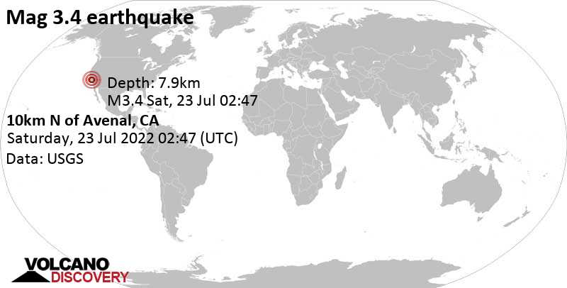
Light magnitude 3.4 earthquake at 8 km depth
23 Jul 02:51 UTC: First to report: USGS after 4 minutes.
23 Jul 06:26: Hypocenter depth recalculated from 5.3 to 7.9 km (from 3.3 to 4.9 mi). Epicenter location corrected by 3.1 km (1.9 mi) towards SW.
Updated Sat, 23 Jul 2022, 02:57
Small magnitude 3.4 earthquake 13 miles southeast of Coalinga, California, United States
3.4 quake 22 Jul 7:47 pm (GMT -7)
An earthquake of magnitude 3.4 occurred early evening on Friday, July 22nd, 2022, at 7:47 pm local time near Coalinga, Fresno County, California, USA, as reported by the United States Geological Survey.
According to preliminary data, the quake was located at a very shallow depth of 3.3 miles. Shallow earthquakes are felt more strongly than deeper ones as they are closer to the surface. The exact magnitude, epicenter, and depth of the quake might be revised within the next few hours or minutes as seismologists review data and refine their calculations, or as other agencies issue their report.
Our monitoring service identified a second report from the citizen-seismograph network of RaspberryShake which listed the quake at magnitude 3.4 as well. A third agency, the European-Mediterranean Seismological Center (EMSC), reported the same quake at magnitude 3.3.
Based on the preliminary seismic data, the quake should not have caused any significant damage, but was probably felt by many people as light vibration in the area of the epicenter.
Weak shaking might have been felt in Avenal (pop. 13,300) located 6 miles from the epicenter, and Huron (pop. 6,800) 8 miles away.
Other towns or cities near the epicenter where the quake might have been felt as very weak shaking include Coalinga (pop. 16,600) located 13 miles from the epicenter, Lemoore Station (pop. 7,400) 17 miles away, and Lemoore (pop. 25,600) 24 miles away. In Hanford (pop. 55,700, 32 miles away), Tulare (pop. 62,300, 45 miles away), Fresno (pop. 520,100, 50 miles away), and Visalia (pop. 130,100, 50 miles away), the quake was probably not felt.
If you were or are still in this area during the quake help others with your feedback and report it here.
Download the Volcanoes & Earthquakes app and get one of the fastest seismic alerts online:
Android | iOS
Earthquake data
If you felt this quake (or if you were near the epicenter), please share your experience and submit a short “I felt it” report! Other users would love to hear about it!
If you did NOT feel the quake although you were in the area, please report it! Your contribution is valuable to earthquake science, seismic hazard analysis and mitigation efforts. You can use your device location or the map to indicate where you were during the earthquake. Thank you!
Data for the same earthquake reported by different agencies
Info: The more agencies report about the same quake and post similar data, the more confidence you can have in the data. It takes normally up to a few hours until earthquake parameters are calculated with near-optimum precision.
| Like. | Depth | Location | Source |
| 3.4 | 7.9 km | 10km N of Avenal, CA | USGS |
| 3.3 | 11 km | CENTRAL CALIFORNIA | EMSC |
| 3.4 | 7.9 km | Central California | RaspberryShake |
Earlier earthquakes in the same area
Please wait while we search through millions of records.
This can take up to 20-30 seconds.
Click here to search our database for earlier earthquakes in the same area since 1900!